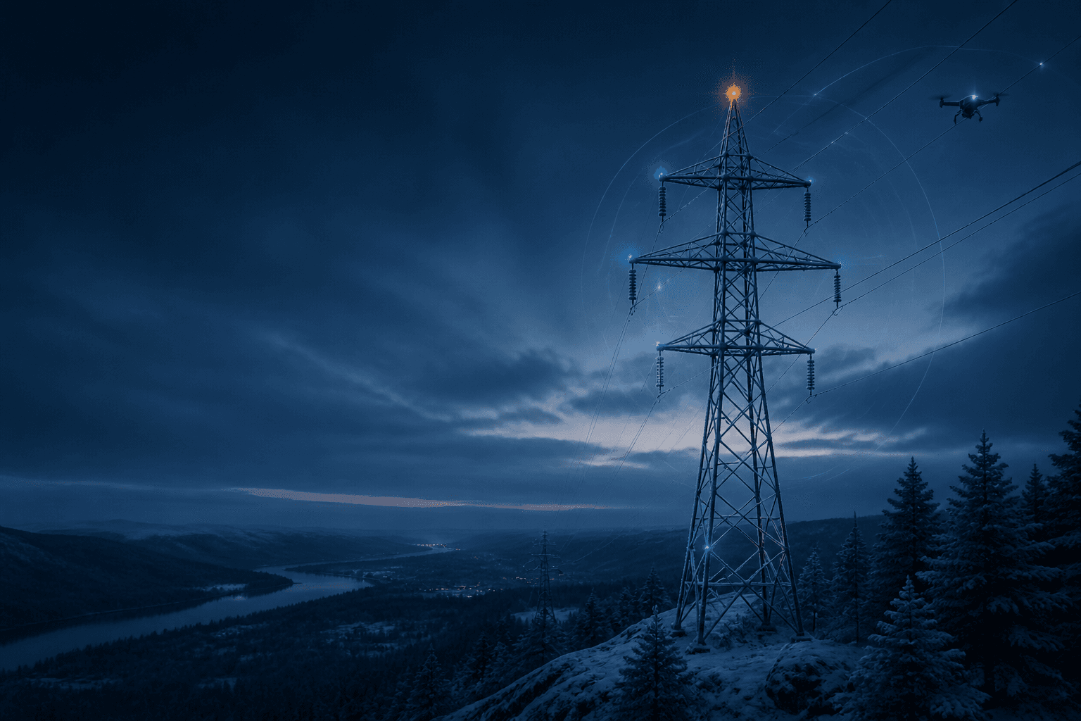

See risk sooner. Act with clarity.
Sky brings satellite, drone, camera, and sensor data into one explainable intelligence layer—helping energy teams detect change earlier and focus maintenance where it matters.
One operational picture
Every source adds context.
Remote assets generate fragmented evidence. Sky is designed to connect that evidence around the infrastructure—not around individual tools.
Wide-area context
Satellite data helps teams maintain a consistent view across remote, distributed assets.
Focused inspection
Drone and camera imagery adds the detail needed to review specific components and changes.
Live asset signals
Sensor inputs add operational context to the visual evidence around each asset.
From signal to decision
Explainable by design.
A prioritized alert is useful only when operators can understand the evidence behind it. Sky keeps the source, location, and observed change connected.
Unify the evidence
Bring satellite, drone, camera, and sensor sources into one operational asset view.
Explain the change
Surface what changed, where it changed, and which source supports the signal.
Prioritize field work
Give maintenance teams a clearer basis for deciding what needs attention first.
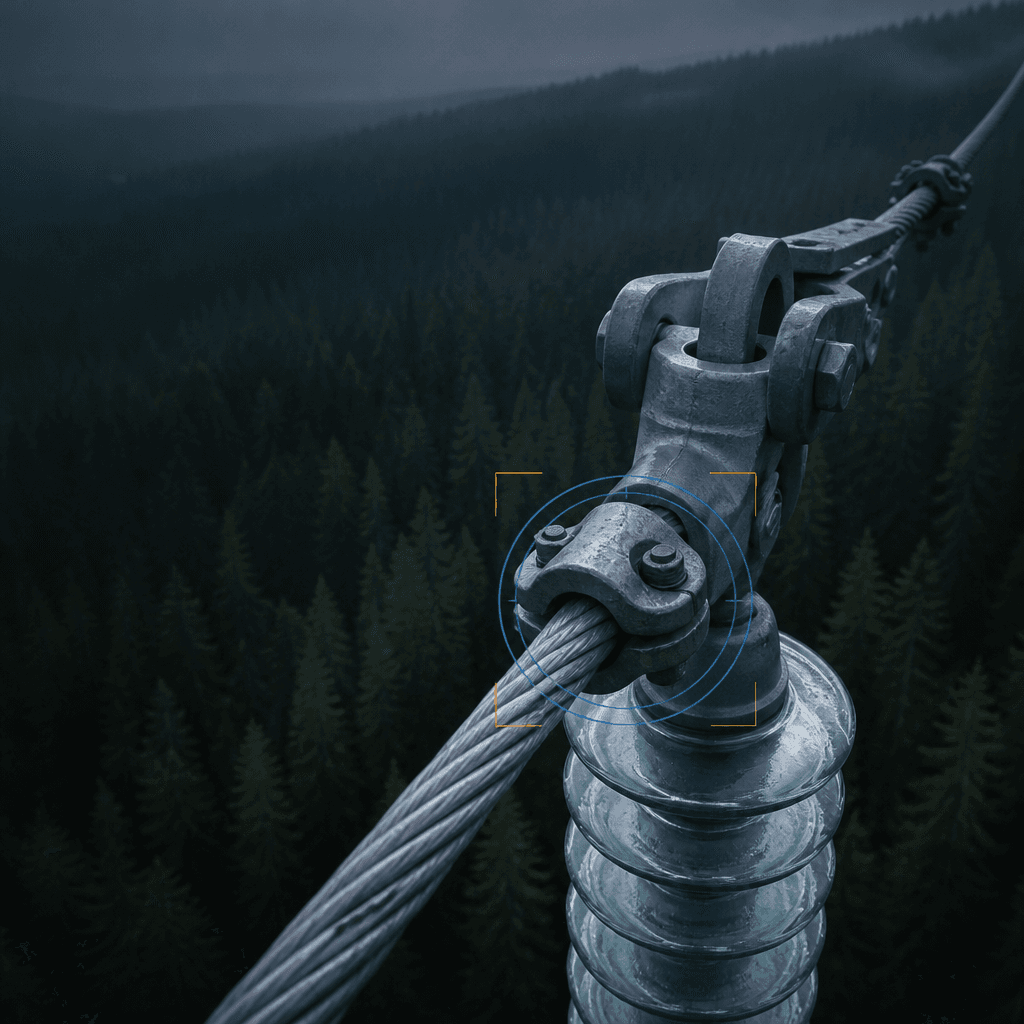
Evidence linked
Location · source · observed change
Operational value
Better coverage. Safer decisions. More focused field work.
Sky’s value hypothesis is straightforward: reduce unnecessary travel while helping maintenance teams find and review meaningful change earlier.
Designed to measure
A clearer view of what matters